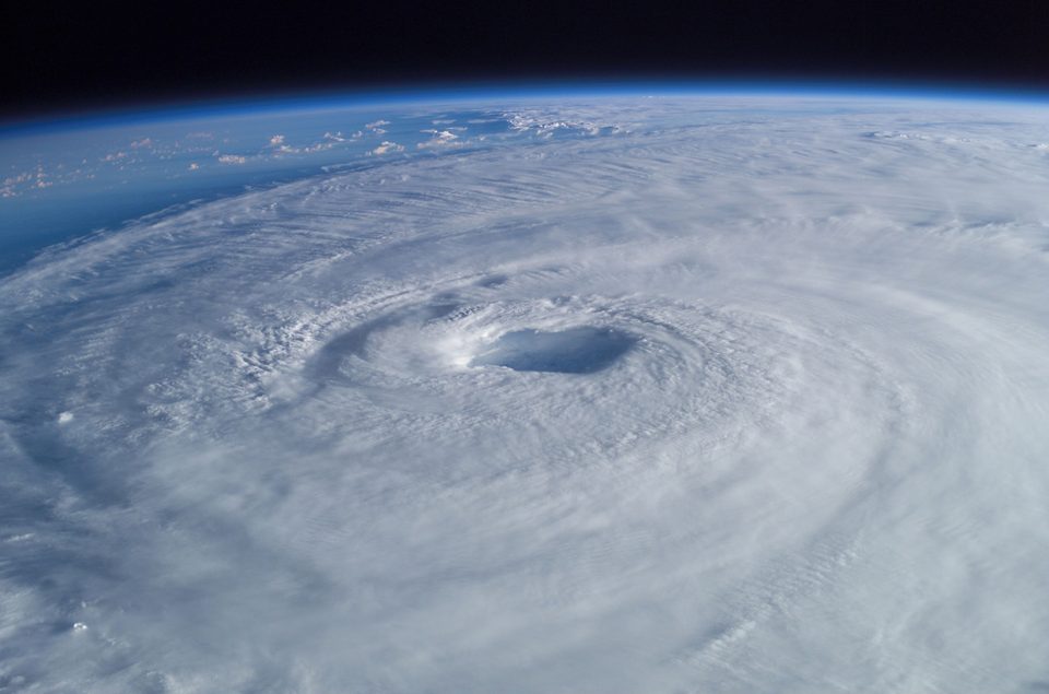
A team from MIT, Microsoft, Harvard, the University of Toronto, the European Centre for Medium-Range Weather Forecasts (ECMWF), Brazil's National Institute for Pure and Applied Mathematics and the weather company DTN has shown that machine learning can sharpen forecasts for two to six weeks ahead, the range forecasters call subseasonal. The study is published in Nature, and MIT announced it on 14 October.
Rather than build a new weather model, the team trained a model to learn, from historical data, the errors an existing forecasting system makes, and to correct its output. Applied to ECMWF's forecasting model, a gold standard in the field, the correction doubled its accuracy in the subseasonal range. MIT says that for the first time the result improved on simply relying on climate averages for that period, and that it also predicts extreme weather better.
The method works as an add-on that can sit on top of any forecasting model. It is open source and cheap to run, and the team's entry placed first in a forecasting competition run by ECMWF.
Energy operators, farmers and emergency managers plan on this timescale. Judah Cohen of MIT's Department of Civil and Environmental Engineering, one of the authors, says the atmosphere tends to fall into favourite patterns again and again, which is why prediction this far ahead may be possible. Kenya's meteorological office has already asked about using the model to plan for its rainy season and harvests.
Work like this sits between computer science and the environmental sciences; both pages list routes that fund a master's or PhD. Earlier this month, a Nobel Prize went to another field built on huge datasets, neutrino astronomy.